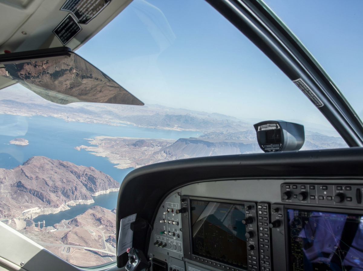
Your Project, Our Precision.
20+ Years of Aerial Survey Experience
-Platforming service
-Custom sensor packages
-Hardware and software development
Precision Aerial Platforming, LLC brings decades of aviation and survey experience to your project. Our team has lead tens of thousands of aerial survey and data collection projects for companies of all sizes, including Fortune 50, since 2008. Working in complex airspace, project planning and execution, sensor package installation and operation set our foundation. From there, we offer custom hardware, software, antenna design and data analysis. Combining the human factor along with machine learning, we have the team to make your project a success.
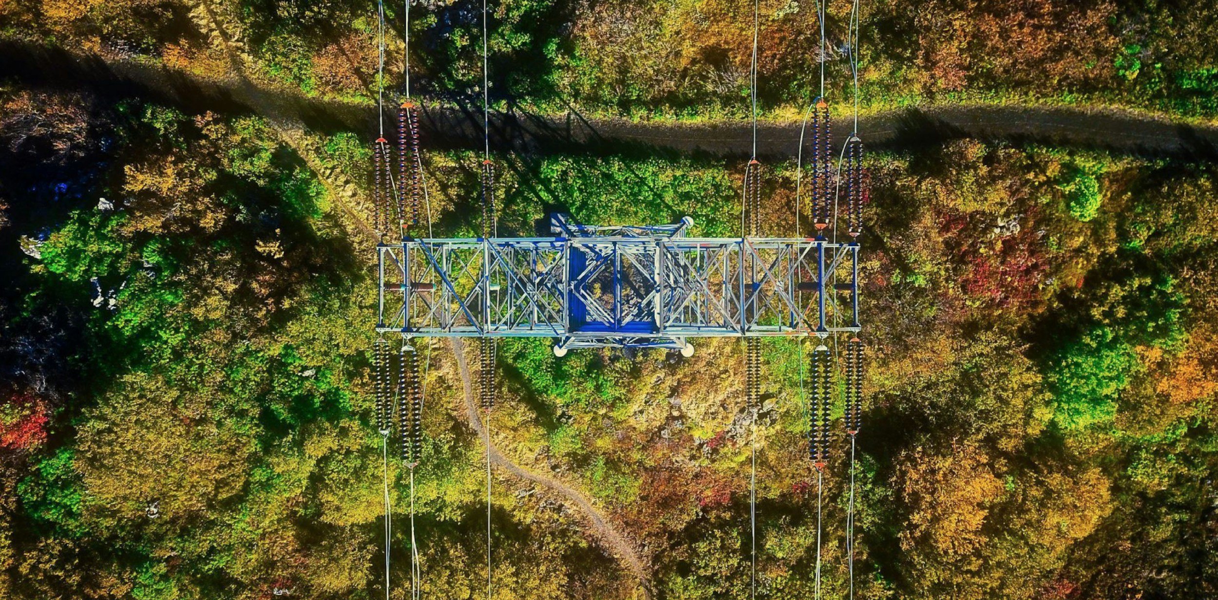
Elevating Results
Our team integrates professional pilots with seasoned survey specialists and engineers, facilitating comprehensive aerial campaigns for architecture, infrastructure, environmental surveys, and unique projects.